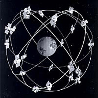
An artist's visualization of Global Positioning System satellite coverage of the Earth. (Image courtesy of NOAA.)
Instructor(s)
Prof. Thomas Herring
MIT Course Number
12.S56
As Taught In
Fall 2008
Level
Undergraduate
Course Description
Course Features
Course Description
This is a freshman advising seminar. The professor of a FAS is the first year advisor to the (no more than 8) students in the seminar.
The use of Global Positioning System (GPS) in a wide variety of applications has exploded in the last few years. In this seminar we explore how positions on the Earth were determined before GPS; how GPS itself works and the range of applications in which GPS is now a critical element. This seminar is followed by a UROP research project in the spring semester where results from precise GPS measurements will be analyzed and displayed on the Web.


